The
Black & White
Picture
Place
Old Maps and Aerial Photographs of Chester

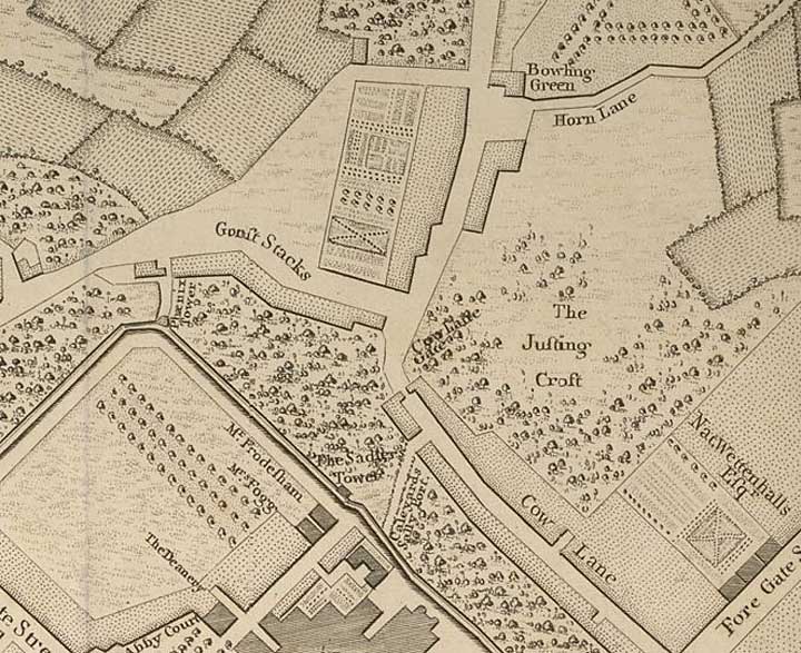
Lavaux's Map of Chester 1745: the NE corner, Gorse Stracks and 'Jousting Croft'
|
|
|
|
|
|
|
|
Back to Lavaux's map of Chester
Site
Front
Door
|
Chester
Walls
Stroll
Introduction
|
Old
Maps
&
Aerial
Photographs
|
Site
Index