The
Black & White
Picture
Place
Old Maps and Aerial Photographs of Chester

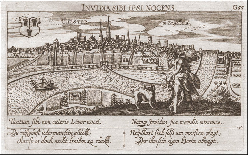
Daniel Meisner's View of Chester: 1620
Appearing ten years after John Speed's map of Chester, this view of the city by Daniel Meisner was published in the Libellus Novus Politicus Emblematicus Civitatum. |
On to A Prospect of the City of Chester 1728
Site
Front
Door
|
Chester
Walls
Stroll
Introduction
|
Old
Maps
&
Aerial
Photographs
|
Site
Index