The Black and White Picture Place
Old Maps and Aerial Photographs of Chester
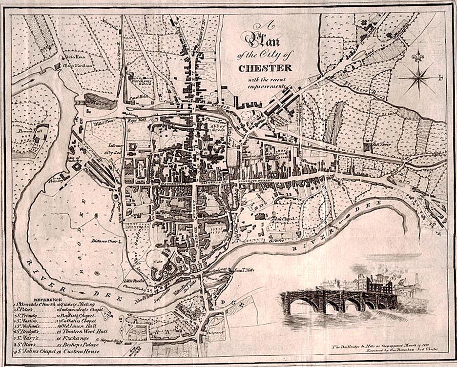
Batenham's Map of Chester 1816
| Here, well into the 19th century the city has barely yet started to spread into the farmlands beyond the protection of her ancient circuit of walls. There is still only a single crossing of the River Dee- via the Old Dee Bridge (which is illustrated in the right-hand corner of the map). The faint diagonal line in the south west corner of the walls marks the approximate course of the Grosvenor Bridge which was commenced ten years after this map appeared. Upriver from the city, the Dee has been confined within man-made banks, and the first buildings comprising what we know today as the Old Port are clearly visible to the far left of the plan. |
Site Front Door | Chester Walls Stroll Introduction | Old Maps& Aerial Photographs | Site Index