A Virtual Stroll Around the Walls of Chester
The Vanished Pubs of Chester Gallery

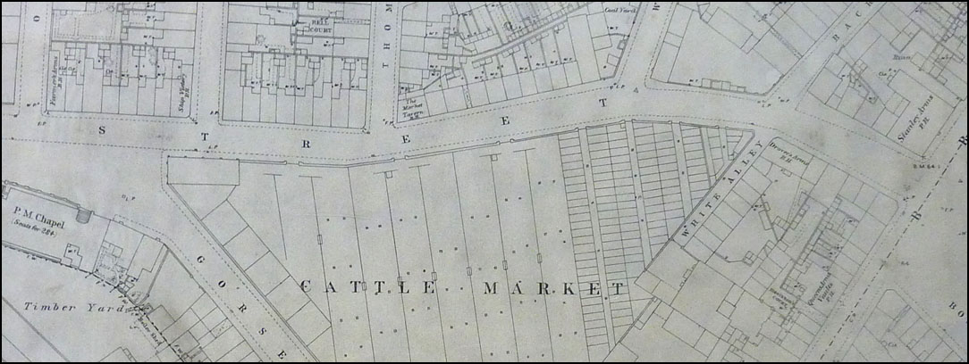
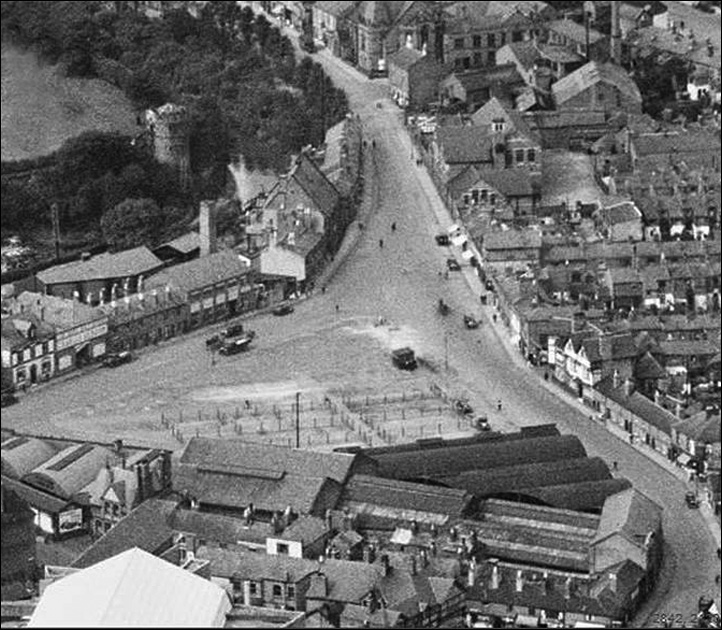
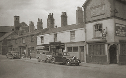
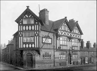
In George Street-at the top of the map- looking from left to right, we first encounter The Farmers Arms on the corner of Oulton Place. Next along, on the corner of William Street, is the Ship Victory (right), a Grade-II listed building and the only pub in Great Britain to bear that distinguished name and the last survivor of the pubs in the area- until, that is, it was scandalously closed by its philistine owners, Cheshire West and Chester Council, on New Year's Day 2014. Ironically, its 20-years' licencee, Joe Gildea, was simultaneously awarded the British Empire Medal in recognition of the pub's many years of charitable fundraising in the Queen’s New Year Honours. Next comes The Market Tavern (illustrated below left) on the corner of Thomas Street. Reader Peter Wright wrote to tell us, "It was in George Street, opposite the Cattle Market. To the left hand side of the pub was Thomas Street and about 50 yds to the right was Back Brook Street. The street that ran parallel to the back of the pub was Pitt Street, which was where I lived, at no. 1, until February 1958, when our house was compulsory-purchased due to the forthcoming demolition of the street". Further on, and across the road, was The Drover's Arms on the corner of White Alley, a narrow lane running alongside the Cattle Market. Finally, it may be possible to regain one's bearings when noting, on the far right of the map, The Stanley Arms which continues to trade at what is now the end of Brook Street which, beyond here, vanished to make way for the St. Oswald's Way roundabout. The fascinating photograph below shows the Cattle Market and its surroundings as they were in 1932.. |

Chester's Vanished Pubs parts 1 | 2 | 3 | 4 | 5 | 6 | 7 | 8 | gallery
Site
Front
Door |
Site
Index |
Chester
Walls
Stroll | Old Pubs Gallery | Previous Map | Next Map

 In February 2008, Helen Sawyer wrote to tell us, "I loved the site listing the old pubs of Chester. I am currently researching my family tree and my great grandfather ran the Market Tavern in Chester with his wife Alice. Are you able to tell me where you found your information from, as I'd like to know which other pubs he ran in the area (I believe he also ran the Horse & Jockey in Ellesmere Port prior to this one), and when he left the Market Tavern. I understand that he was kicked out of the pub in the 1950s after some money was stolen from the till, but it would be good to tie this up a little more factually'.